
Length and Time: 1 miles (1.5 km) – should take about half an hour
Gradient: Quite a steep climb of about 350ft (100m)
Terrain: All on tarmac or concrete road
Obstacles: None
Facilities: None on the walk
Public Transport: Bus or Train to Todmorden
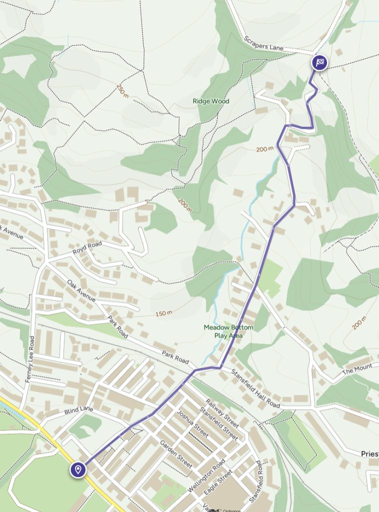
Todmorden to Hole Bottom
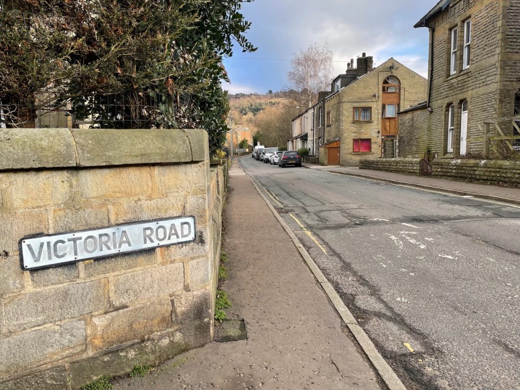
1) From the central bus station walk about 250m along Burnley Road (A646) away from the town centre, until you reach Victoria Road on your right.
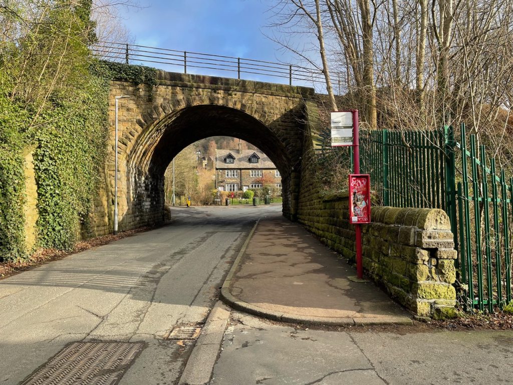
2) Walk along Victoria Road and under the railway bridge.
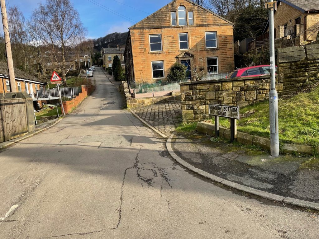
3) Then bear to the right before turning left up Meadow Bottom Road.
4) From here it’s a fairly steep climb up a well made road that becomes Hole Bottom.
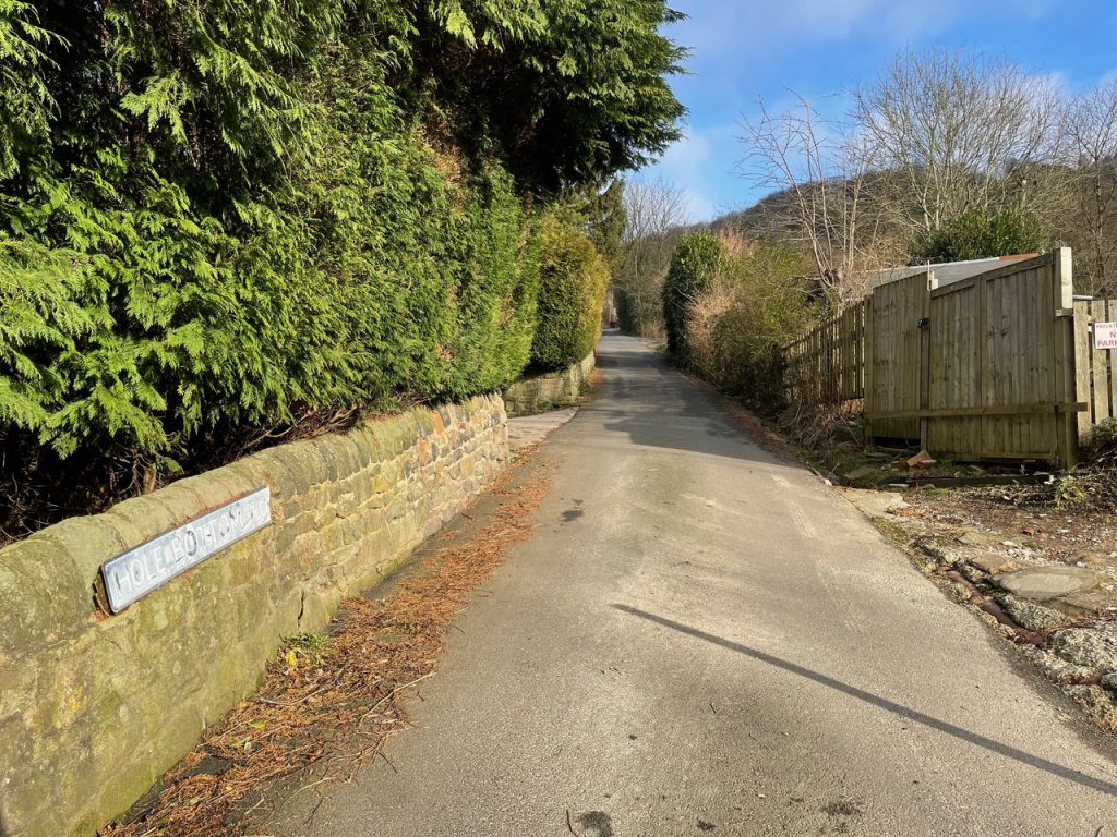
5) As you climb up the hill you will come to a point where the words ‘Hole Bottom’ are carved into a stone wall on your right. Ignore the bridleway sign here and continue straight up the hill.
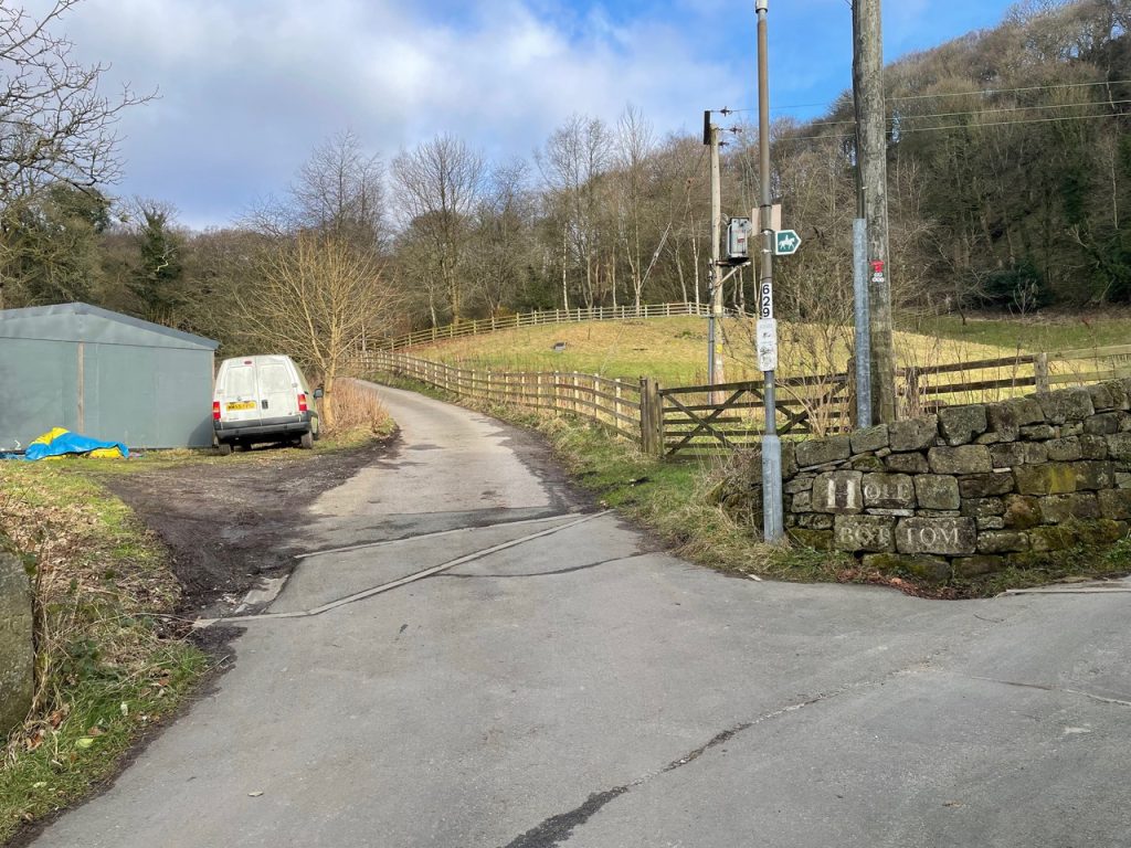
6) Further up the hill the road turns to the right onto a private road.
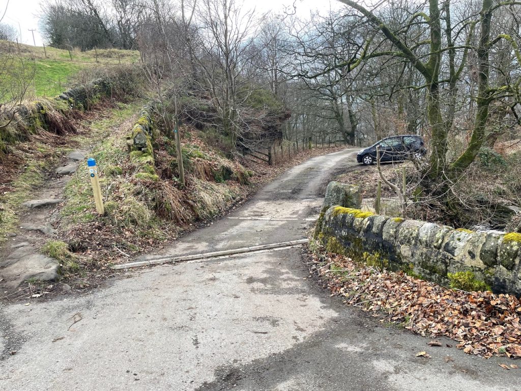
7) Continue up this road until you reach the junction with the Calderdale Way at a bridge.
Hole Bottom to Todmorden
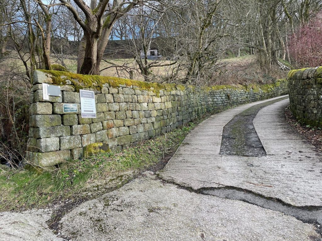
1) The Calderdale Way crosses a concrete road at a bridge over a stream.
2) Here you can take the link path downhill.
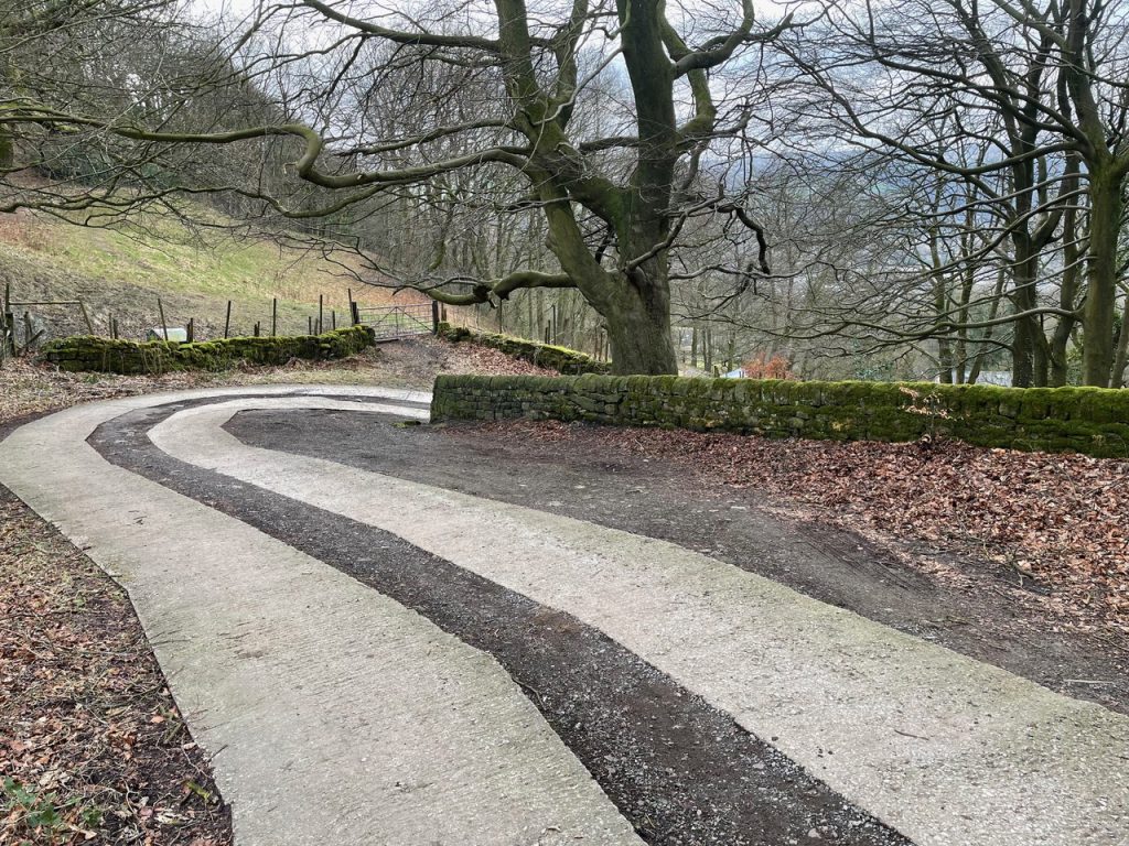
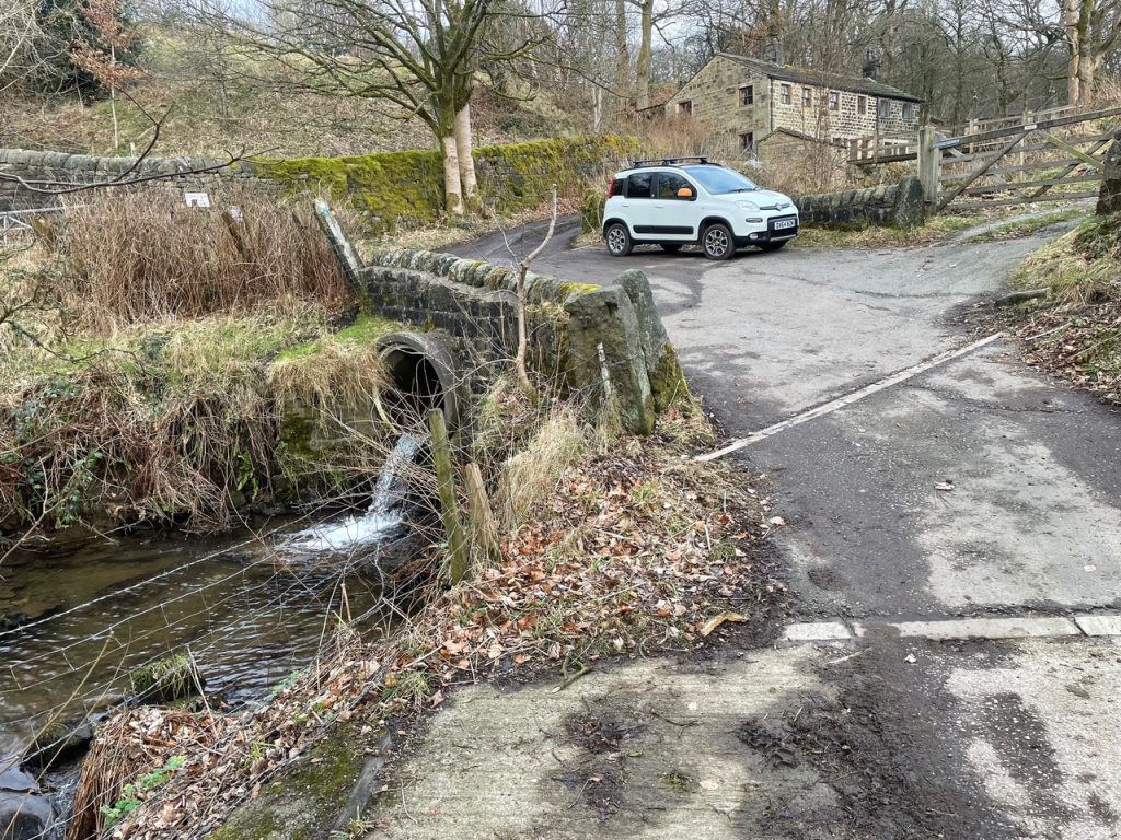
3) Keep going downhill, turning left at the end of the concrete road onto a tarmac road.
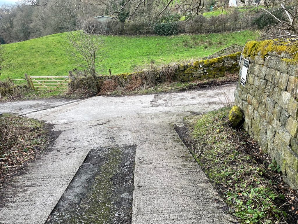
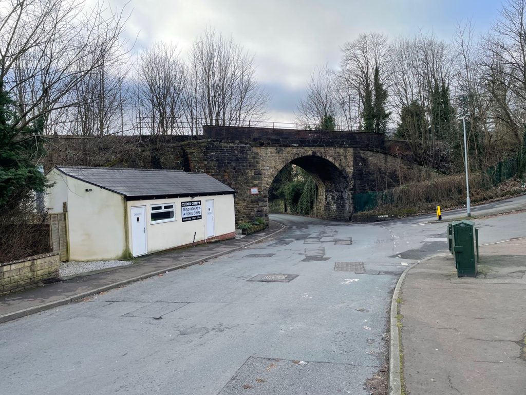
4) Keep to this road all the way to a junction at the bottom where you turn right past The Tudor Chippy, under a bridge, and on to Victoria Road.
5) Continue along Victoria Road until you meet Burnley Road (A646).
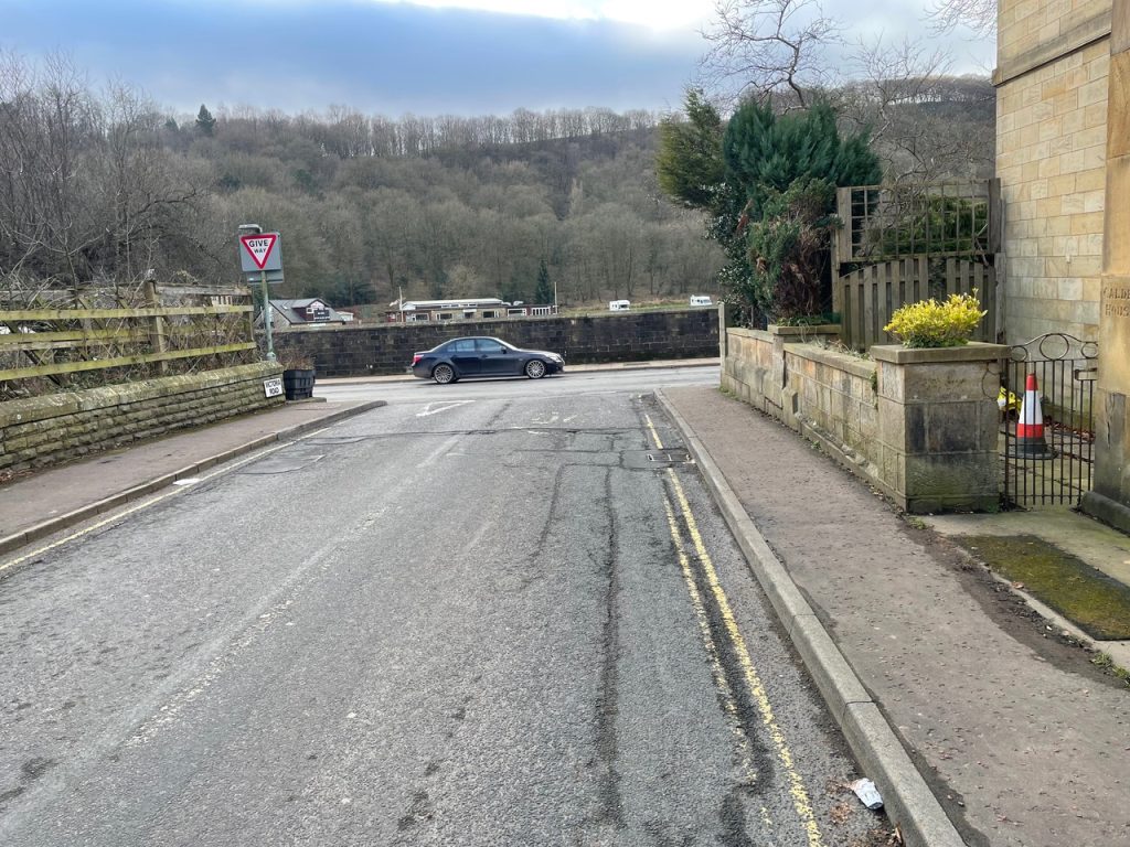
6) Turn left here to walk a short distance into the centre of town and the bus station.