
Updated 22/03/2024
Length and time
4 miles (6½ km). Should take you 2½ hours.

Highlights
Quaker graveyard, Fielden Church, a short detour will take you into Todmorden where you should visit the market and the Town Hall.

Gradients
The walk starts out level, then drops to the valley bottom, then up the other side and then back down again!

Terrain
The route is all on good tracks and paths.

Obstacles
There are several stiles on the route.

Facilities
Top Brink pub at Lumbutts, lots of great places to eat and drink in Todmorden.

Bus access to the route
To Lumbutts from Todmorden T8; from Todmorden to Halifax, Rochdale and Burnley.
1. From the water tower at Lumbutts (SD957235), take the tarmac road down and then up. At the junction with Causey Wood Road, continue straight on as far as the fenced moorland on the left. Turn right at the telegraph pole towards Croft Farm, following the lane through a farm gate and continue between walls to cross a stile in the wall on the left.
2. Beyond the stile keep the wall on the left crossing the next stile, then keep the wall on your right crossing two fields to the farm.
3. Leaving the cottages on the right, go through a stile and follow a field path to a lane between farm buildings. Follow the lane as it turns left to a T-junction, then turn right and follow the lane down to Todmorden. Watch out on the left for the Quaker burial ground established around 1700.
4. Continue down a tarmac road, passing the former Unitarian Church on the left (or go through the grounds) to enter the bottom of Longfield Road in Todmorden.
If you cross the square, at the Rochdale Canal you can use the towpath to walk back through the Calder Valley or on towards Rochdale.
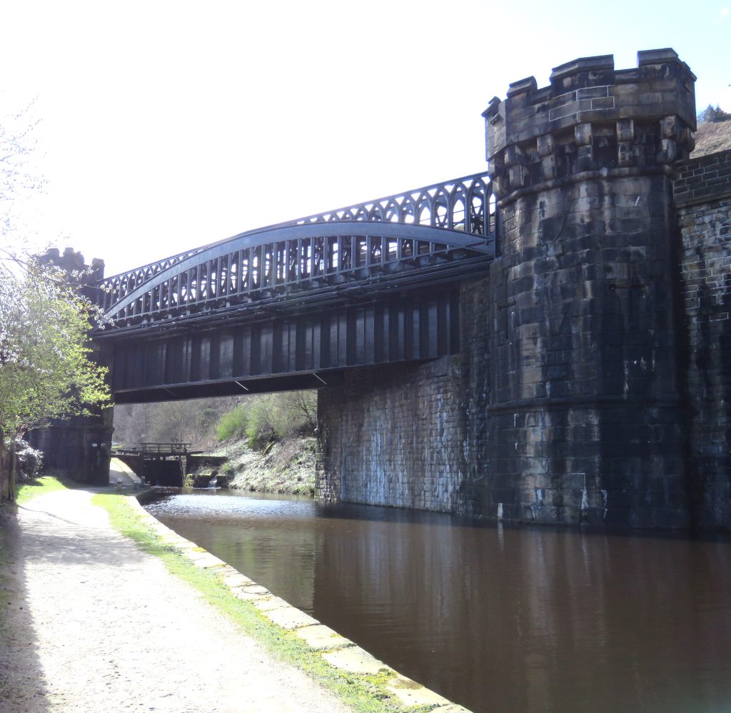
5. Turn left for 400 metres along Rochdale Road (A6033) away from the town centre. Turn right up Dobroyd Road, cross the canal and the railway; bear left uphill and note the iron bridge at Gauxholme and the Walsden Valley.
6. Continue past Dobroyd Castle Lodge Gate round the hairpin bend and continue up the road to Stones Farm. Turn right along the lane at the end of a long building, a former cart shed and stable block. Pass the Model Farm on the right, then, on reaching a gate with a stile, take a diagonal left to follow an indentation uphill to a stone wall. Keeping this wall on your left, continue through three fields to a tarmac road.
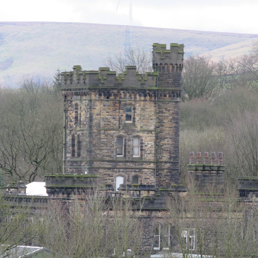
7. Before you reach the tarmac road, pause to view several landmarks along the route: below is Dobroyd Castle; to the right is Longfield, Lumbutts, Mankinholes and Stoodley Pike; to the left is Whirlaw, Cross Stone Church, Great Rock and Heptonstall.
8. Turn left along the road then sharp right at the next junction down the lane at Todmorden Edge. At the former golf club house, turn right onto a grassy lane between walls leading down to the top of Buckley Wood. Descend through the wood, turn left on to Ewood Lane, down to the Burnley – Todmorden road (A646).