
Updated 05/04/2024
Length and time
4½ miles (6½ km). Should take you 2½ hours.

Highlights
Walking through very varied landscapes.

Gradients
An initial ascent leads to a relatively level section with another descent and ascent at the end.

Terrain
The route is mainly on tracks with some moorland paths.

Obstacles
There are many, many stiles on the route.

Facilities
The route starts at Jerusalem Farm campsite. The Cat i' th' Well pub is ½ km off route and the route ends near the Moorlands pub.

Bus access to the route
To Booth (one mile from Jerusalem Farm) 574; from the end of the route the 502 to Halifax and Keighley or nearby the 522 and 523 to Halifax.
If you are starting from Booth, walk down through the village and bear left just below the village. This is Jerusalem Lane and Jerusalem Farm is a ten-minute walk.
1. From Jerusalem Farm car park (SE037278); take the track down and cross Wade Bridge. Take the middle waymarked path bearing right.
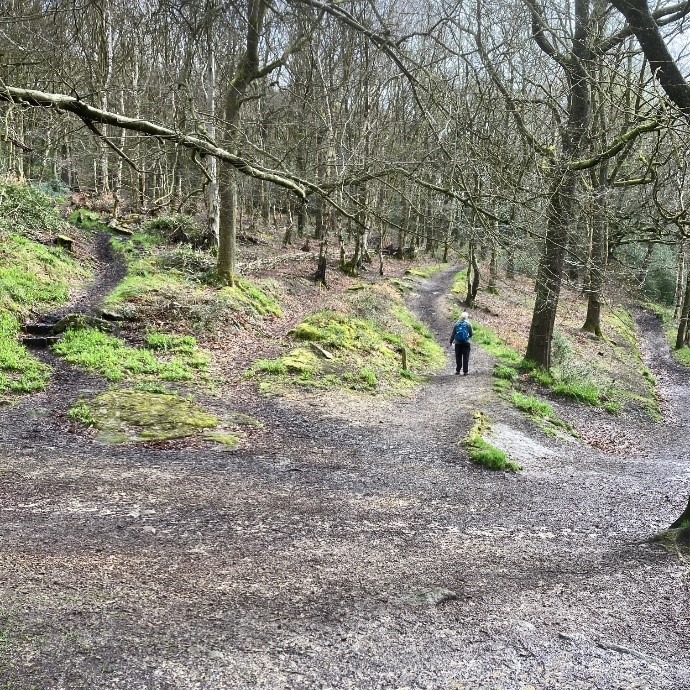
2. After 100 metres, take a sharp left. Follow this path uphill, through holly trees. After 200 metres you come to a gateway where you go straight ahead on to a wide walled path below the wood. Follow this for 400 metres with lovely views of Luddenden Valley.
3. At the building on the right with the high wall, go through a gate, up some steps and continue up the tarmac drive.
4. At the top, bear right onto Heys Lane and almost immediately turn left up a concrete track. Pass some Farm buildings on the left where it becomes a rough track that winds up the hillside.
5. Just before the track ends, take the grassy shortcut on to a track where you turn right. Follow this to the end where it meets a tarmac road. Cross to a stile opposite, then bear right along a cairned path to a stream, cross on a footbridge and go up the steps ahead.
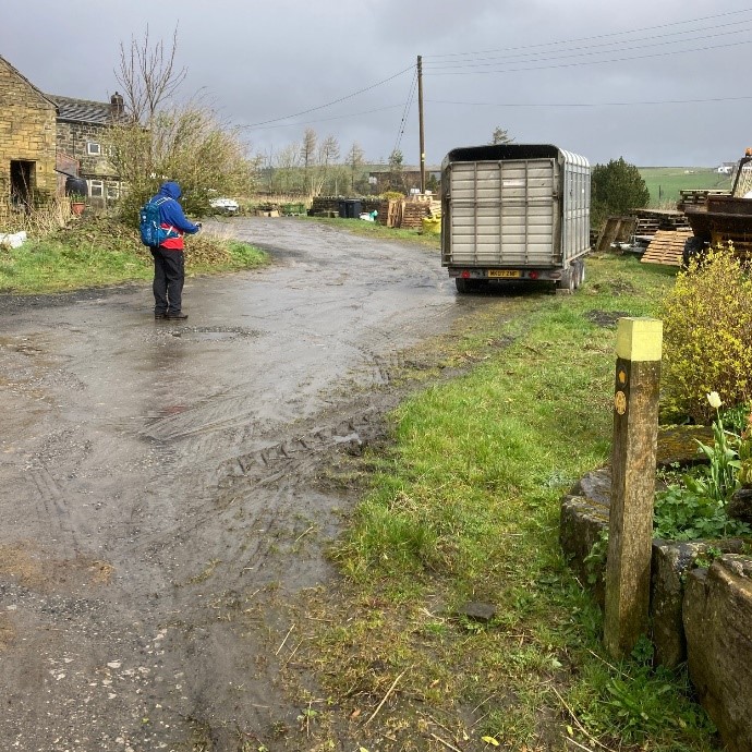
6. Continue in a straight line, joining a wall on your right. Here you cross several board walks. At the wall corner cross the stile and turn right into a wide track to Moorside Farm – 50 metres ahead (the former Moorcock Inn).
Opposite the farm Link Path K leads to buses at Wainstalls which once had many water-powered mills. All have ceased to operate, though the wheel at Lumb Mill was in use until 1968.
7. At the end of the farm buildings on the left, go diagonally left across the yard, turn right along the wall to a metal gate. Follow the path to a wooden gate and along a path with a wall on the right and farm buildings to your left. Continue on a paved path across another field and down to the track at a terrace called Moorbottom.
8. Turn left and after about 30 metres, turn right through a gap stile, Cross the field to a footbridge over a stream. Keep straight on up the narrow path between the fence and wall, crossing several stiles. At the top you reach a dwelling called Hough Gate Head Farm.
9. Turn left and then right to skirt round the buildings on to the gravel drive. At the top, turn left along the farm access lane to the tarmac Cold Edge Road.
10. Turn left along the road and after 20 metres, cross the road, through a gate and take the grass track between walls. Follow the track first on the level then downhill from Hunter Hill. Mixenden Reservoir comes into view on your right but keep straight ahead downhill on the walled path towards a cluster of Sycamore trees below.
11. At the bottom, you reach a track at Goose Clough. Here, turn left, then after 30 metres turn right, through a gate, then follow the path with the broken-down wall on the left. Cross two stiles into a tree lined track to the hamlet of Stod Fold.
12. Walk straight ahead on the track between the buildings, cross the stone-setted yard and go ahead down the walled track, cross the bridge and then go uphill.
13. Pass the substantial dwelling of Brook House leading to Lane Head where you bear right up the tarmac lane. Go straight ahead at the road junction for 200 metres.
14. Just after Lower Brockholes Farm on your right, go up the steps to the left and after a stone stile, continue along the partly flagged path. The path goes behind some houses and at the end emerges on to a tarmac road.
15. Pass Mount Zion Chapel and go ahead on the road until you reach the Keighley Road (A629).
Your continuing route is opposite, a bit to the right.
If you want a break, turn left for 100 metres to the Moorlands Inn (SE070298).
If you want to get the bus to Halifax, there is a bus stop opposite or more choice if you head towards the housing estate called Illingworth.