Length and Time: 2.3 miles (3.5 km). Approx 1.5 hours walking time
Gradient: A gradual climb uphill 406 ft of climbing
Terrain: Mostly roads and tracks, some footpaths
Obstacles: Some steps and muddy footpaths
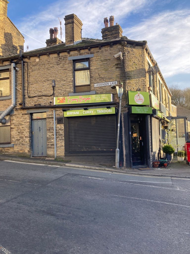
Facilities: The Lord Nelson pub in Luddenden Village. Open 2pm until 11pm on the weekend and 2pm till 11pm at weekends. It does not serve food. (Details correct at the time of writing [Feb 25] – could be worth checking with pub)
Public Transport: Bus to Luddendenfoot or Bus from Halifax to Midgely and Booth.
Luddenden Foot to Jerusalem Farm
You have a choice of two routes from Luddenden Foot for the first part of the walk.
Route One
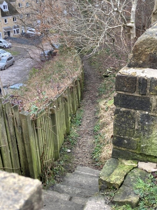
1) Begin at the start of Luddenden Lane at Luddenden Foot. Walk up the road for ½ mile before turning right down a footpath opposite the sign ‘Shaw Mount’ and between the houses.
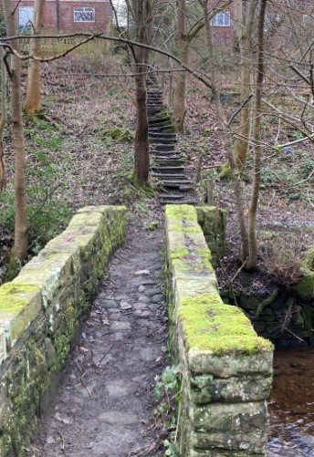
2) Follow this path down steep steps and across the bridge before turning left after a few metres at a boardwalk to cross the side stream and merge with route two.
Route Two
A little further along the main road past Luddenden Lane is a hairdressers called Hair Claire. Opposite this is a set of steps.
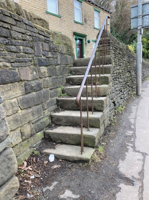
1) Climb the steps and turn left uphill to Ripley Terrace on the left fork ahead. Turn left down a step of steps by the wall to your left.
2) Follow this Goit path to a clearing where you join the path (from the other route) from your left across a small boardwalk. Cross the side stream ahead
Route One and Two
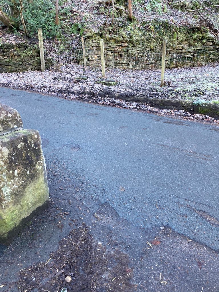
3) Follow the river upstream. If the stream is too fast flowing, the path can be accessed by climbing uphill on the paved path for a few yards and turning right at the waymark.
4) Continue on this riverside path, past houses on your left and then up a flight of steps and on to the junction with the main road through Luddenden village.
5) Cross the road and follow the path past the Cornmill wheel. Continue up the river to the road.
6) Turn left here and follow the road round to the Church and take the path to the left of the Church. Follow this path keeping straight ahead where it turns into a track. Ignore footpaths going off the track.
7) Continue for a mile until the track meets the road at Booth Hill.
8) Turn sharp left uphill on the road and after a few yards take the footpath on the right up stone steps. Follow this path until a further flight of steps on to Jerusalem Lane.
9) Turn right on the lane and continue to the building marked Jerusalem Farm. Pick up the Calderdale Way here as it heads downhill
Jerusalem Farm to Luddenden Foot
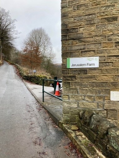
1) Leave the Calderdale Way at Jerusalem Farm and continue along Jerusalem Lane past a set of cottages for 1/2km. There is a Calderdale Way link path sign to your right uphill by Jerusalem farm but ignore this. That route remains a footpath but is no longer being listed as a link path.
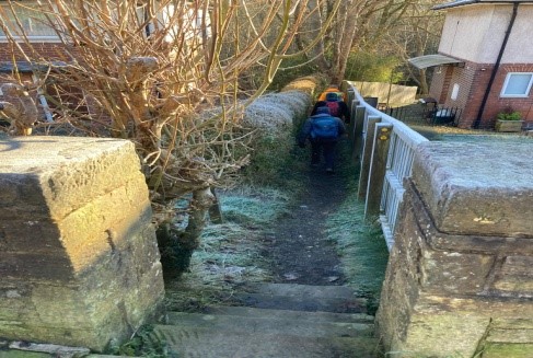
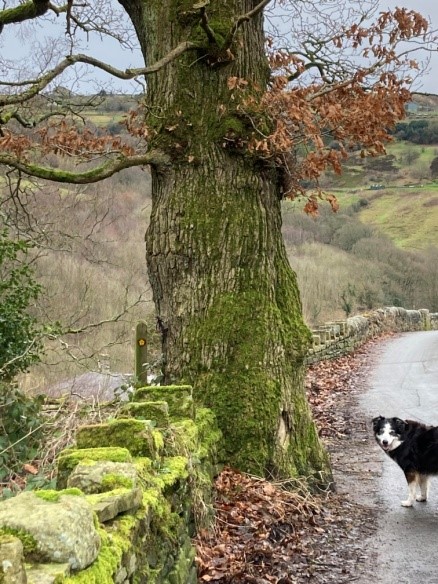
2) Look out for a link path sign on the left of the wall by a large tree. There is also a footpath sign on the right. Descend a set of stone steps and follow the path alongside the wall, ducking under a large tree trunk (we have asked the council to remove it)
3) Descend the steps at the end of the path on to Booth Hill. Turn left here downhill the take the next right along a road in front of a long row of cottages named Goitside.
4) Continue on this road for a short while and when the road forks, take the left fork and continue ahead. Keep to the right on the path as it passes a house drive.
5) When you come to an open space with parked cars take the track to the right. It is waymarked as the link path.

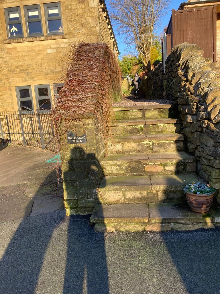
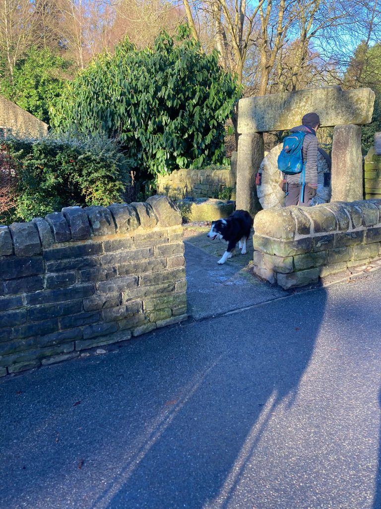
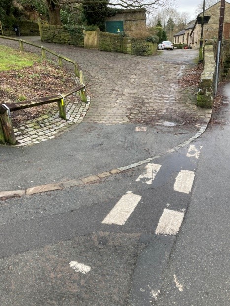
6) Continue along the track as it passes the cemetery and you enter into the Churchyard of St Mary’s Luddenden. Continue to the right of the Church and exit into the beautiful village of Luddenden.
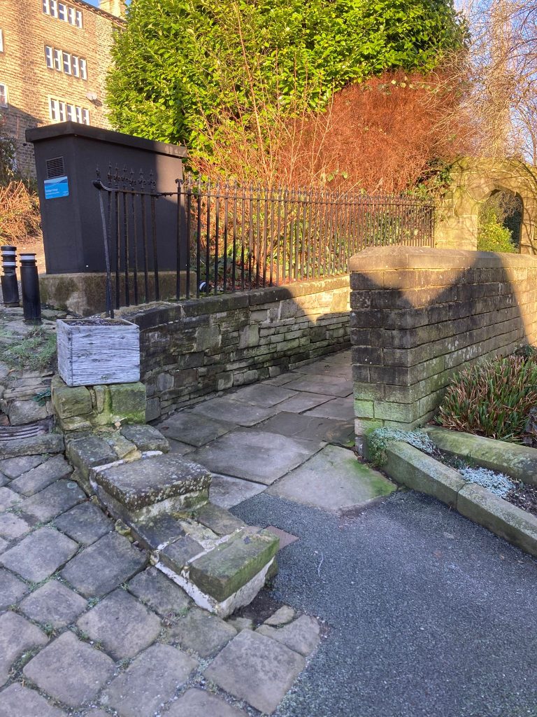
7) Turn left downhill past the Lord Nelson pub on your right and at High Street fold turn right on to the riverside path. At a set of steps ascend them and follow the path to the main road. Here cross over and take the tarmac road to your right.
8) Continue on this tarmac until it turns into a footpath. Walk to the end and descend a set of steps. Follow the pavement to a footpath ahead and continue along it, entering into a wooded area by the side of the stream.
9) Continue on this path across a stream and over a short board walk. If the stream is too fast flowing to cross, climb up the bank and take the top path to the waymark sign then right downhill.
10) Straight after the board walk you have a choice of two routes back to the main road at Luddenden foot.
11) Route One
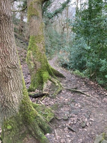
Turn immediately left past two large trees and follow the goit path along to the end. It can be muddy in places.
At the end climb up the set of sets into Ripley Terrace. Turn right downhill for a short while to meet the main road at Luddenden foot.
11) Route Two
Go straight ahead after the boardwalk until the bridge. Cross the bridge, up the stone steps to the road ahead. Turn left here and head for ½ mile/.08Km to the main road at Luddenden foot.