
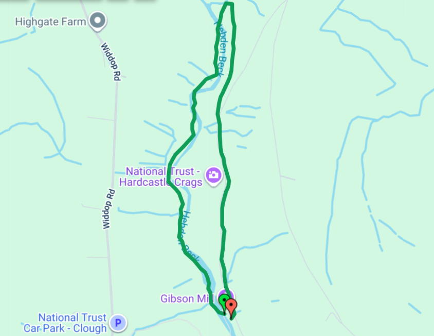
3 Bridges circular route from Gibson Mill (with an option to ‘climb the crag’)
A printable pdf version is available here.
(Green waymark arrows)
Length and time
1½ miles (2½ km or about 4500 steps). Should take you about 1 hour. You need to add time to get to and from the start at Gibson Mill.
Highlights
A chance to explore a quieter part of the river with dramatic cliffs, waterfalls and lovely beech woods. The route starts along the edge of a lovely mill dam and then stays very close to the stream where you should watch out for Dippers, Wagtails and Herons.
Start and finish
Start and end at Gibson Mill. Get to the mill from the car park at Midgehole (an extra 1 mile on the track or a bit longer on the Riverside Ramble) or from the car park at Clough Hole on the Widdop Road (½ mile down a steep track).
Gradients
The outward section is a level riverside path returning by a steady climb up a track and then a gradual descent back to Gibson Mill.
The walk can be reversed ie track out and path back
Terrain
The riverside section is partly on a stony path which is very uneven in several places. Parts of the riverside section are likely to be muddy especially after rain. The return is on a wider broad track.
Obstacles
There are a few rough steps on the route.
A detour to climb the crag
As you approach Gibson Mill on the track, you can do a quick detour to climb up to the top of the Crag (great experience for adventurous children).
Extending your walk
From Gibson Mill you can add on the Riverside Ramble or the Slurring Rock path – allow about an hour for both.
Detailed directions
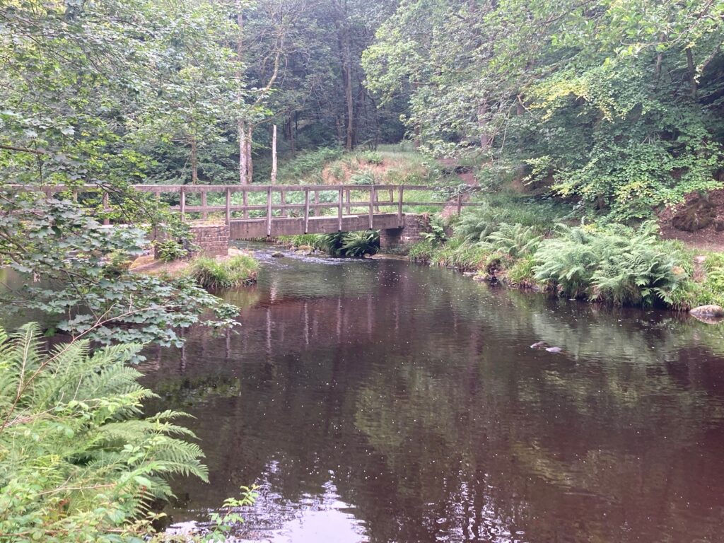
1) From Gibson Mill yard, cross over the bridge and turn right. Cross the stream and then go up some stone steps, then turn right on a narrow path that goes around the mill dam with the stream below you.
2) At the end of the dam, you go on to a delightful stretch of riverside path which is stony and uneven in places. Watch out for dippers wagtails and the occasional heron.
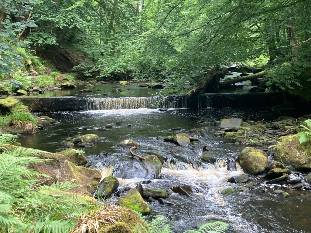
3) After a bit, the path becomes flagged in places. At the two junctions, keep right to follow the river. Cross two bridges, and keep going ahead.
4) When you reach a small stone building and a weir, you cross over the bridge and follow the path upward to a junction. Turn right on a wide track heading uphill. If you are doing this in reverse, watch out for this junction.
5) The track gradually ascends through mixed deciduous woodland with great views of the stream below. The track comes out on to the main Estate Road which you follow gently downhill. If you are doing this in reverse, watch out for this junction.
6) You reach an open Glade on your left with some picnic tables. Just beyond you will see a finger post on your right signposting ‘To the Crags’
A short diversion to ‘climb the crags’
It’s about a 15 to 20 minute detour to climb to the top of the Crags and back to the track. It is easily doable by adventurous children with an adult in tow.
It starts off with some steps, then you turn right on the level. Then there’s a little bit of scrambling on a clear path to get to the top.
From the top, there are some great views and it is the only place in Hardcastle Crags to send a selfie!
Do return the same way – ignore other routes down that may look promising!
7) Keep descending on the track, a short diversion to look at the mill pond is a must. Then you arrive back at Gibson Mill.