
Length and Time: 2.8 miles (4.4 km) – should take about 1 hr 30 mins
Gradient: A steady climb of about 900ft (270m) with a couple of steeper sections
Terrain: Roads and tracks and footpaths
Obstacles: Some steps, slippery slabs and muddy footpaths
Facilities: None on the walk
Public Transport: Bus to Luddendenfoot
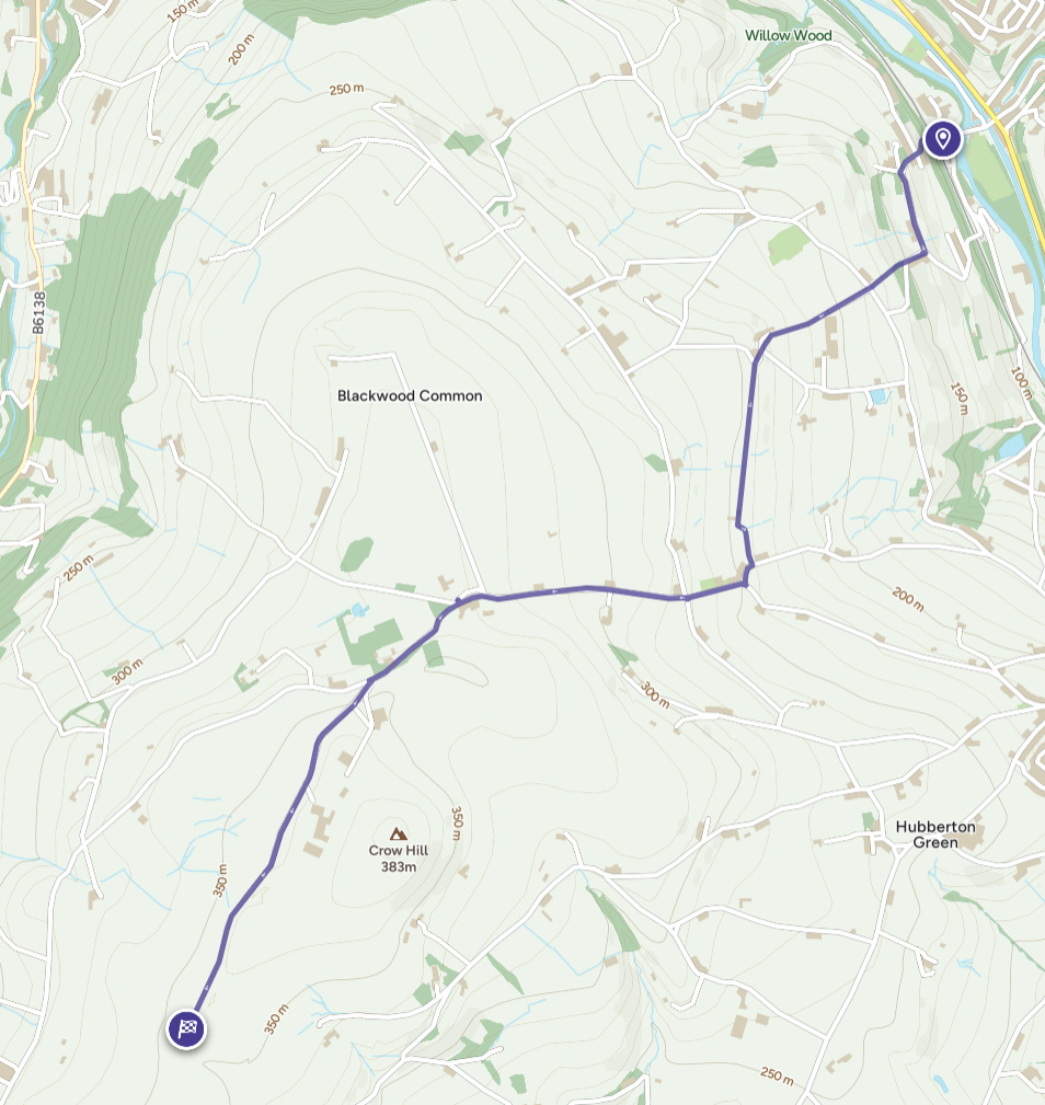
Luddendenfoot to Catherine Slack
1) From the A646, cross the canal and the river and go straight ahead, uphill on a cobbled road (Blackwood Hall Lane). This goes over the railway, turns right and then left to meet a road. Go straight ahead on the road and carry on as it swings left and traverses the hillside, passing fields on the left and houses on the right to reach a road junction.
2) Turn right at the junction. As the road goes left, go straight ahead on a footpath. (If it has been raining recently this path will be wet and slippery, so you might be better off following the road and turning right at the top to arrive at the top of the path.) At the top of the path cross the road and go through a gap in the wall opposite to the right of a lane.
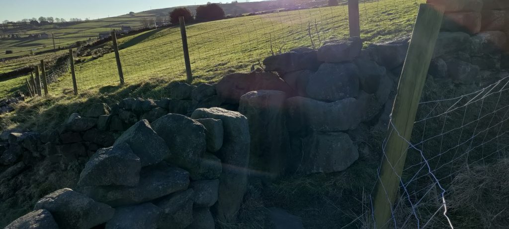
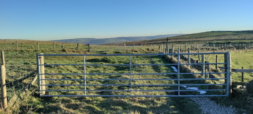
3) At the top of the field go through a gate and continue uphill with the wall on your right. About half way up there is a gap in the wall. Go through and continue uphill with the wall on your left. Pass to the left of some buildings to reach a road.
4) Turn right and at a sharp right hand bend go straight ahead on a footpath. As the path bends right go left through a gap in the wall.
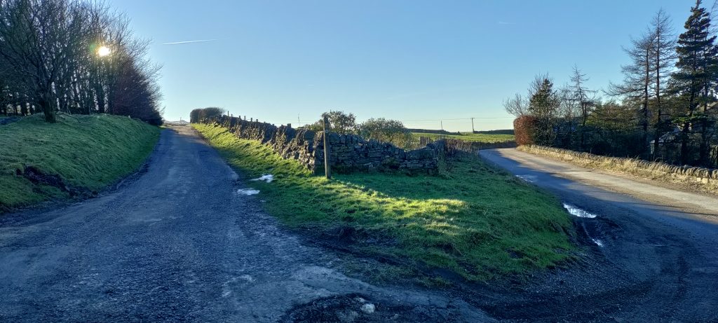
5) Keeping close to the wall on your right, traverse the hillside. Go through a gap in a wall and then a gate into a lane. Walk to the left of a farm and turn left through a gap by a gate. Bear right through a gate to reach a road. Turn right along the road and turn right again uphill passing the Baptist Church.
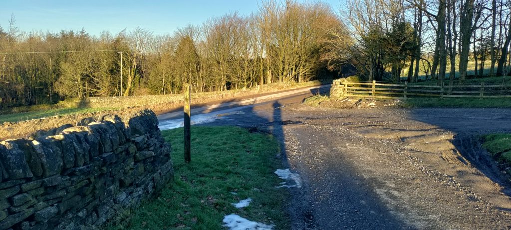
6) At the Mirey Lane/New Lane crossroads go straight ahead up Steep Lane. Just after Moor End Farm keep left at a fork in the road. Keep to the road as it bears right at Knowl. After some trees on both sides of the road and just before the road begins to level out take the left fork at a signpost.
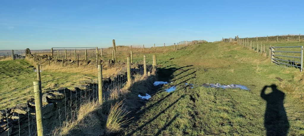
Continue along this track keeping to the right at any junctions, with a wall, hedge or fence on your right, to eventually join the Calderdale Way.

Catherine Slack to Luddendenfoot
1) Head NNE from the signpost along a track (marked Water Stalls Road on the map)
2) When you eventually reach a road bear right along the tarmac road.
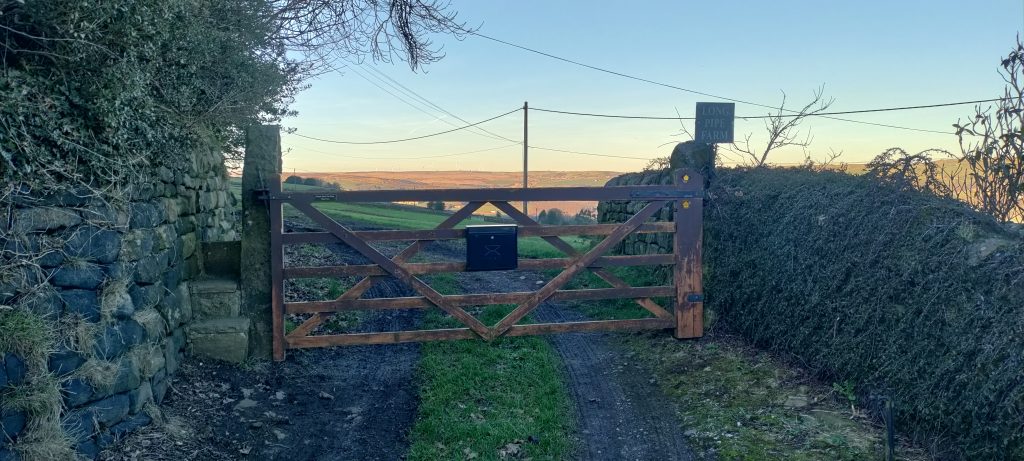
3) At the New Lane/Mirey Lane crossroads go straight ahead and pass the Baptist Church. At Shield Hall Lane turn left and follow the road round to the right. Immediately turn left through a gate to Long Pipe Farm.
4) Keep close to the wall on your left and follow it round to the left through a gate to a farm. Just before farm buildings go through a gap by a gate into a grassy lane. Pass through a gate and then a gap in the wall. Continue to traverse the hillside with a wall on your left.
5) Go through a gap in the wall on your left to join a footpath and turn right to reach a road. At the road bear right. Ignore a right turn in the road and go straight ahead on a track. Go to the right of buildings. Then down the right hand side of a field. About half way down cut through a gap in the wall and continue downhill with the wall on your left.
6) Go round or through a gate and continue down the right hand side of a field to reach a road.
7) Here the route goes straight ahead down a footpath but this will be wet and slippery unless there has been a long spell of dry weather. So it might be better to turn right along the road and take the first left to re-join the route at the bottom of the footpath.
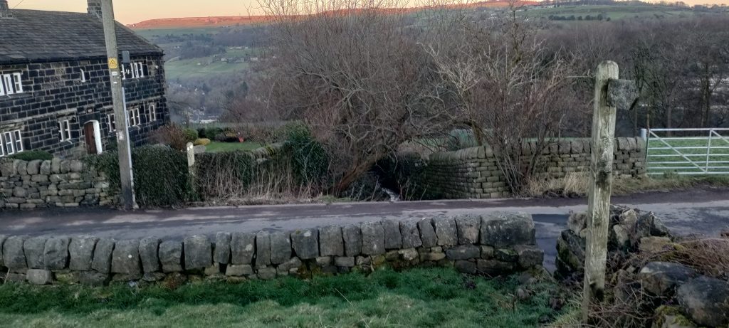
8) Carry on down the road and turn left along Morley Hall Lane. Keep right down Blackwood Hall Lane. At Willow Bank go straight ahead down a cobbled street. Go over the railway to Luddendenfoot.