
Updated 23/03/2024
Length and time
4 miles (6½ km). Should take you about 2 hours.

Highlights
The attractive canal basin at Brighouse.

Gradients
There are no significant ascents or descents.

Terrain
The route is all on good paths and tracks with some road walking.

Obstacles
There are no obstacles but the route involves crossing the busy A58.

Facilities
There are food shops and Cafes at Bailiff Bridge.

Bus access to the route
There is no service to Norwood Green, but the 227 and 363 from Halifax will drop you at the A58, so you would start your walk at paragraph 2
From Brighouse there are there are loads of buses from Halifax and Huddersfield. There are also trains from Leeds, Halifax, the upper Calder Valley and Manchester.
1. From Norwood Green war memorial, turn right on Rookes Lane. At the end of the hedge, bear left on a waymarked track past the playground
2. Pass a terrace on the left, go around the metal gate and fork left onto a grassy path. The path narrows and runs alongside a fence on your right
3. Cross a railway bridge, then follow the path alongside a hedge to a stile on the Halifax/Leeds Road (A58).
4. Cross the road to the gate, almost opposite and follow the hedge on your left, then on an indistinct path aim for the large tree ahead. Just after the waymark post, bear left with the hedge on your left and head down to cross a stile
5. Cross the metal footbridge and then go ahead along an alleyway to join Victoria Road through the housing estate. Pass a school on your left and shortly afterwards enter the Memorial Gardens on your left. Cross diagonally and turn right on to Bradford Road (A641), where you can use the pedestrian crossing. Turn right, then at the cross roads turn left at up Birkby Lane.
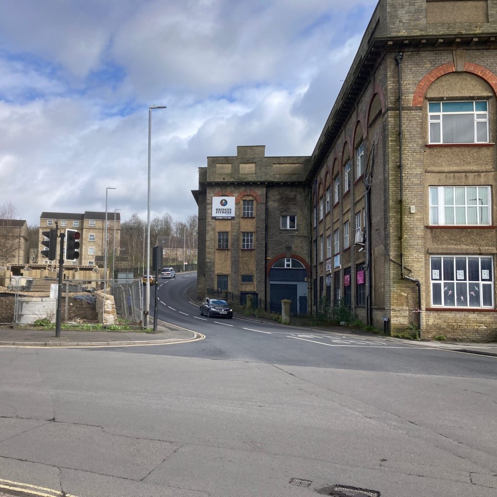
6. Turn second right into Birkhouse Road and follow it past a terrace of houses; then bear left passing under an old railway bridge.
7. Soon after this, the Bronte Way continues up the tarmac road on the left towards Birkhouse, but the Calderdale Way, continues straight ahead on an unmade road. Past Common End Farm, you climb steadily to Woolrow Farm on the skyline.
8. Turn left past the bungalow to a gate and turn right following the hedge, down a series of fields to Thornhill Beck at Hole Bottom.
9. At the field corner, cross the footbridge and follow a short path uphill to a tarmac road, Thornhill Beck Lane. Turn right and go down the road for 200 metres and turn left up some stone steps.
10. Keep to the right-hand edge of the field up to a gap stile at the top corner. Turn right into a tarmac road called Thornhills Lane and follow it for about 500 metres.
11. Just after the lodge, turn right through a stile on to a field path which goes directly downhill towards the old railway embankment.
12. At the bottom of the slope, turn left alongside the disused railway line and at the end descend the steps to the main road (A643).
13. Cross the road to Alegar Street (Turn right for a short-cut to the Bus Station). Turn right on to Wakefield Road (A644), then left into Grove Street (just before Lidl).
14. At the end turn right along Mill Street, and then left along Wharf Street (before Sainsburys) to the canal basin where you turn right along the towpath before a bridge.
15. The canal towpath and the Calderdale Way goes under a road bridge to the next section.
If you come off the towpath and turn left, Brighouse station is 200 metres up the road.